Details
Chebera-Churchura National Park is situated on the western side of the central Omo-Gibe basin, nestled between the Dawro and Konta zones in the South West Ethiopia Peoples’ Region. It lies approximately 133 km south of Jimma and 483 km southwest of Addis Ababa.
Originally designated as the Kulo-Konta controlled hunting area, the region was primarily used for elephant hunting. In 2005, it was officially upgraded to national park status by the regional government.
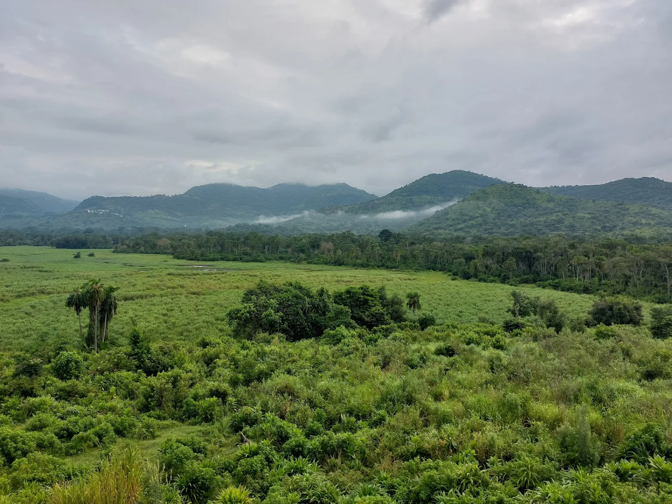
Covering an area of 1,250 square kilometers, Chebera Churchura National Park ranges in elevation from 500 to 2,000 meters above sea level. It receives annual rainfall between 1,200 mm and 2,300 mm, with temperatures varying from 10°C to 29°C. The wet season spans from March to September, while the dry season occurs from December to February.
The park is home to four small crater lakes, including Keriballa, Koka, and Shasho, and is traversed by 49 perennial rivers. Among them is the Zinga River, a tributary of the Omo River, which originates in the northeastern highlands and flows through the park’s central region. The Shoshuma River rises from the northwestern highlands of the Konta area, crosses the northeastern part of the park, merges with the Zinga River inside the park, and ultimately drains into the Omo River.
Chebera Churchura also features natural caves, hot and cold springs such as Toshima and Nechwuha, and scenic waterfalls like the Barbo waterfall.
Map
Sorry, no records were found. Please adjust your search criteria and try again.
Sorry, unable to load the Maps API.